

The Poolbeg Lighthouse is a familiar site to anyone who has ever come in or out of Dublin on a ferry. Indeed, that’s how I first caught sight of the Poolbeg Lighthouse and the Great South Wall in the early 1990s. By that stage, I had been travelling for 7 hours so I was more interested in getting off that boat than paying any particular attention to the long seawall and the dinky little red lighthouse at its end. Which is a pity really.

The wall and lighthouse are located at the mouth of the River Liffey which flows into Dublin Bay. There had always been a problem with the area silting up with sand, causing problems for ships and boats which needed to travel into Dublin. Initially, in 1715-1716, thick wooden piles bound together with wattle were driven into the seabed. These became known as The Piles. Full marks for originality there. The Piles proved to be rather useless at keeping the sand at bay so it was decided that something more substantial would be needed. In the mid-1740s, work began on a sea wall, built parallel to The Piles. The wall was built from granite blocks which were cleverly interlocked, without the need for any bonding material. The wall was finally finished in 1795.

It was hoped that this new, improved wall would both stop the encroachment of the sand into the bay and deepen the river channel. Neither happened so in 1800 a survey of Dublin Bay was carried out by Captain William Bligh of “Mutiny on the Bounty” fame. His recommendations had a better outcome than his misadventures on that fateful trip. On his advice, a second sea wall (now known as the North Bull Wall) was built on the other side of the bay. Its construction led to a naturally occurring scouring action which took away the sand and deepened the river channel.

The Poolbeg Lighthouse itself began life as a lightship, before being replaced by a tower in 1768. At first, its light was candle-powered – it’s believed that it was the first lighthouse in the world to do so. It was converted to oil 18 years later. It was reconstructed in the 19th century and that is the tower which remains there to this day. The Ordnance Survey originally used the low water mark on the lighthouse (Springtide of 8th April 1837) as the standard height for its mapping. These days, the Malin Head datum is used.
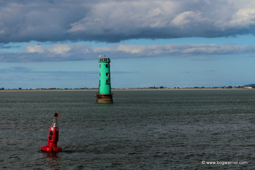
Depending on the weather, the walk out to the lighthouse makes for a pleasant/bracing/vaguely suicidal trip. The route to the wall takes in views of Dublin’s docklands, the iconic chimneys from the former Poolbeg electricity generating station and the Shellybanks nature reserve. Also, if the wind’s blowing the wrong way, you can enjoy the savoury aroma of the nearby water treatment plant 😀 Also visible on the walk are the two other lighthouses which work in tandem with the Poolbeg Lighthouse. The Poolbeg lighthouse is painted red to indicate to ships that it’s Port side. The North Bull Lighthouse which is on the opposite side is painted Green to indicate Starboard. To the north, the Howth peninsula is clearly visible while to the south, Killiney Head and Dun Laoghaire are visible.
Depending on how fast you walk, you can get out to the lighthouse and back in an hour to eighty minutes. It’s not a walk to undertake when it’s getting dark. The wall isn’t lit up and the surrounding area doesn’t look like it’d be the nicest place to be at night. During daylight hours it’s perfectly fine – it’s a popular walk for Dubliners.

The wall has been featured in two music videos that I know of. It can be seen at the end of Phil Lynott’s Old Town and features heavily in The Script’s Breakeven. The less said about the latter, the better 😀


